Why does it always feel like the end of construction season arrives when there’s still too much to do and not enough time to get everything done? While we can’t days to your calendar, our GIS Maintenance Cheat Sheet can help you stay organized and avoid administrative headaches as you navigate this busy time of year.
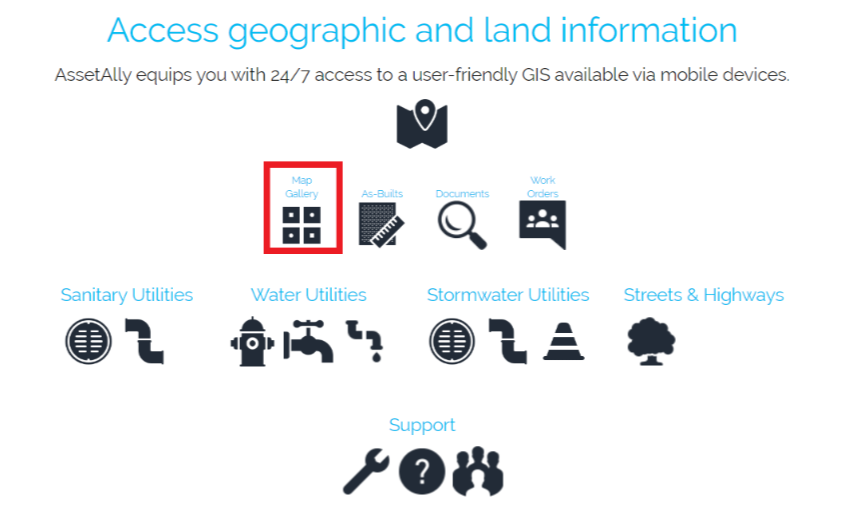
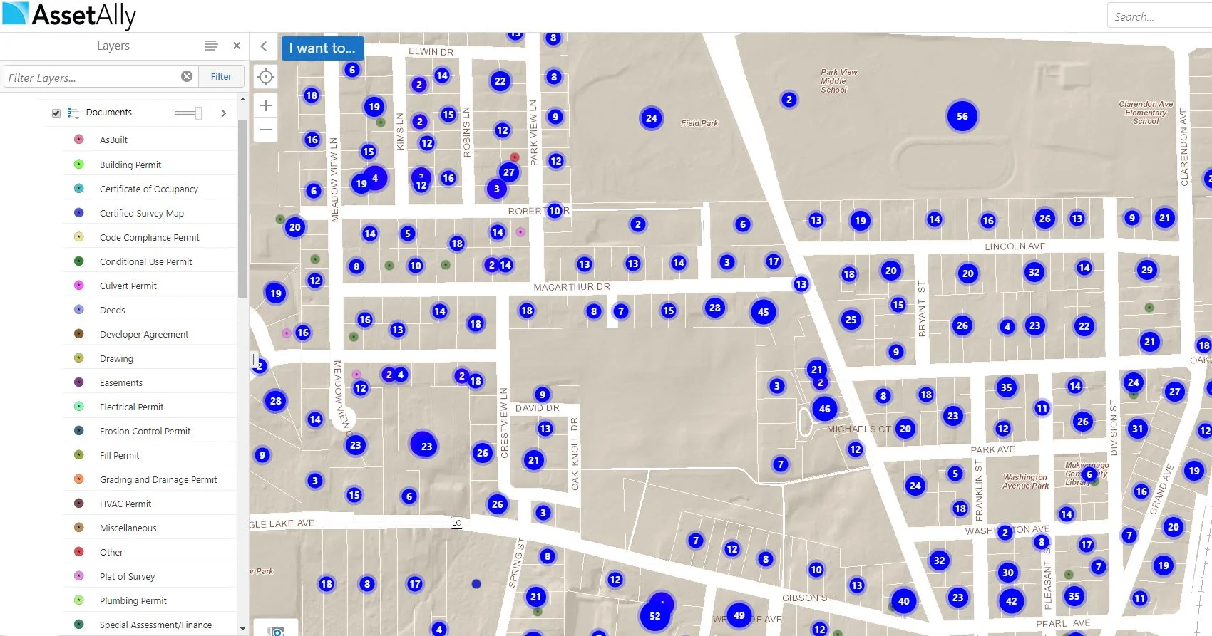
The Map Gallery and Your Frustration-Free Future
Video Tutorial: How to Quickly Make a Mailing List
AssetAlly: Your Tool for Organization
Are you looking for ways to cut down the amount of time you have to spend on administrative tasks? AssetAlly can help you maintain and organize all of your documents in a safe and convenient location. This information can be easily shared across departments, so there’s no more fetching documents for anyone!
GIS Cheat Sheet for End of Construction Season Planning
The Benefits of Attributing and Linking Asbuilts to Your Utilities
Populating attribute fields in your GIS may seem like a daunting or even unnecessary task at times, but the information being added to your utilities will more than likely come in handy down the line. Aside from being able to access important utility information quickly (pipe size, length, material, inverts, year installed, etc.), it can make searching for particular data in your GIS (such as documents) much easier.
Document Upload Tool
Linking As-Builts
Today we will be explaining how the "Link Asbuilt" tool is utilized in your GIS viewer. This tool is extremely helpful to those working out in the field, as well as in the office. It is a way to archive and retrieve as-built documentation for when issues may arise. With the flow and accessibility of this information being streamlined, project decision-making efficiency can be significantly improved. We are able to link your engineering record drawings directly into your GIS. Here is how you access them:
As-built Upload Tool
Zoning Tool
While the most accurate way to track Zoning is via direct editing in ArcMap software, the “Zoning Add/Edit” tool can be used for quick zoning changes that follow parcel lines. Found under the "Public Works" tab, the tool allows users to select parcels and add/edit the zoning information displayed in the map.


