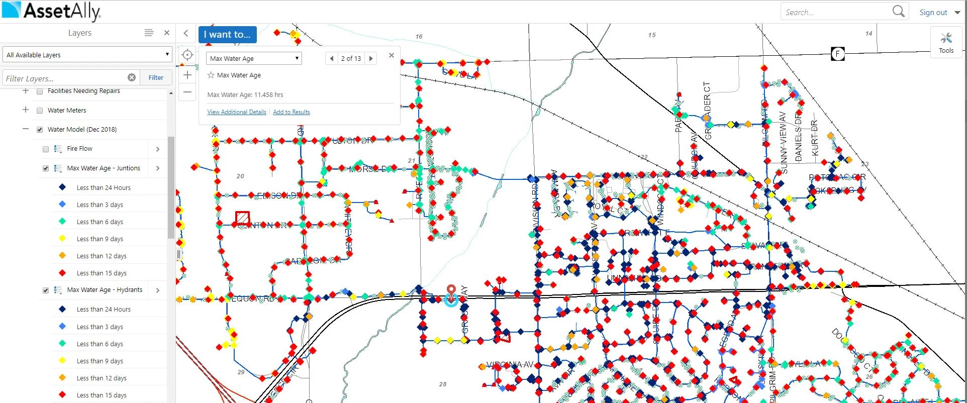
Integrating your community’s water model data into your GIS allows your team to use and analyze important data whenever and wherever it’s necessary. Learn how quick access to this information will help you swiftly field questions from stakeholders and make important decisions more efficiently.
The Map Gallery and Your Frustration-Free Future
Streamline your Processes: The Manhole Inspection Tool
Manholes are the primary points of access to your community’s underground infrastructure. The AssetAlly Manhole Inspection Tool streamlines the inspection process, giving your team portable, digital access to previous inspection data and the ability to efficiently complete new inspections on-the-go.
Adding Water Model Data to your GIS
Hydrant Data: Available When You Need It Most
Water Main Break Tool
Accessing Your Hydrant Data in AssetAlly
Layer Visualizations for Valve Repairs
As you may know by now, you are able to create and view custom layer visualizations in your GIS. The extent of what you are able to do with these customization options is extensive, so we encourage you to get creative! In this example, we will guide you through the process of visualizing various valve repairs needed by displaying an array of colored markers.


