The Water Main Break Tool gives you the ability to locate and record water main breaks quickly and efficiently - allowing better visualization of water pipe conditions. Learn more about utilizing this tool in your AssetAlly application!
Sign Support Tool
Nothing says spring cleaning like completing an inventory on the conditions of your street signs. Let us help you spruce up your town by starting or continuing to build on your inventory with our Street Sign Support tool! Our street sign tool is quick and easy to use. The tool provides a preloaded dashboard that gives users the ability to input information on new or existing signage with just a few short clicks.
Exporting Your Map as an Image
Table View vs. List View
When identifying features, you have the ability to view your data in a tabular Excel-like format without leaving your map. In this article we'll identify some sanitary structures and then demonstrate how to switch between the List and Table views available for displaying results. We'll first turn on the targeted layer--in this case, our sanitary layer--and use the rectangular identify tool to select a group of sanitary features to observe in our results window.
Markup Tools
Many of us find the need to mark our maps, draw in areas, and annotate decisions. We all have a preferred method depending on our needs. Tim prefers map printouts annotated with red pen. I mark up maps more digitally by using sharpie on my computer monitor (not really, IT would hate me). Below we'll show you how to mark up your GIS map (without resorting to ink-based marking devices). Within the Markup tab, you'll see your drawing options by clicking the triangle next to the drawing button.
GIS & WI MS4 Audits
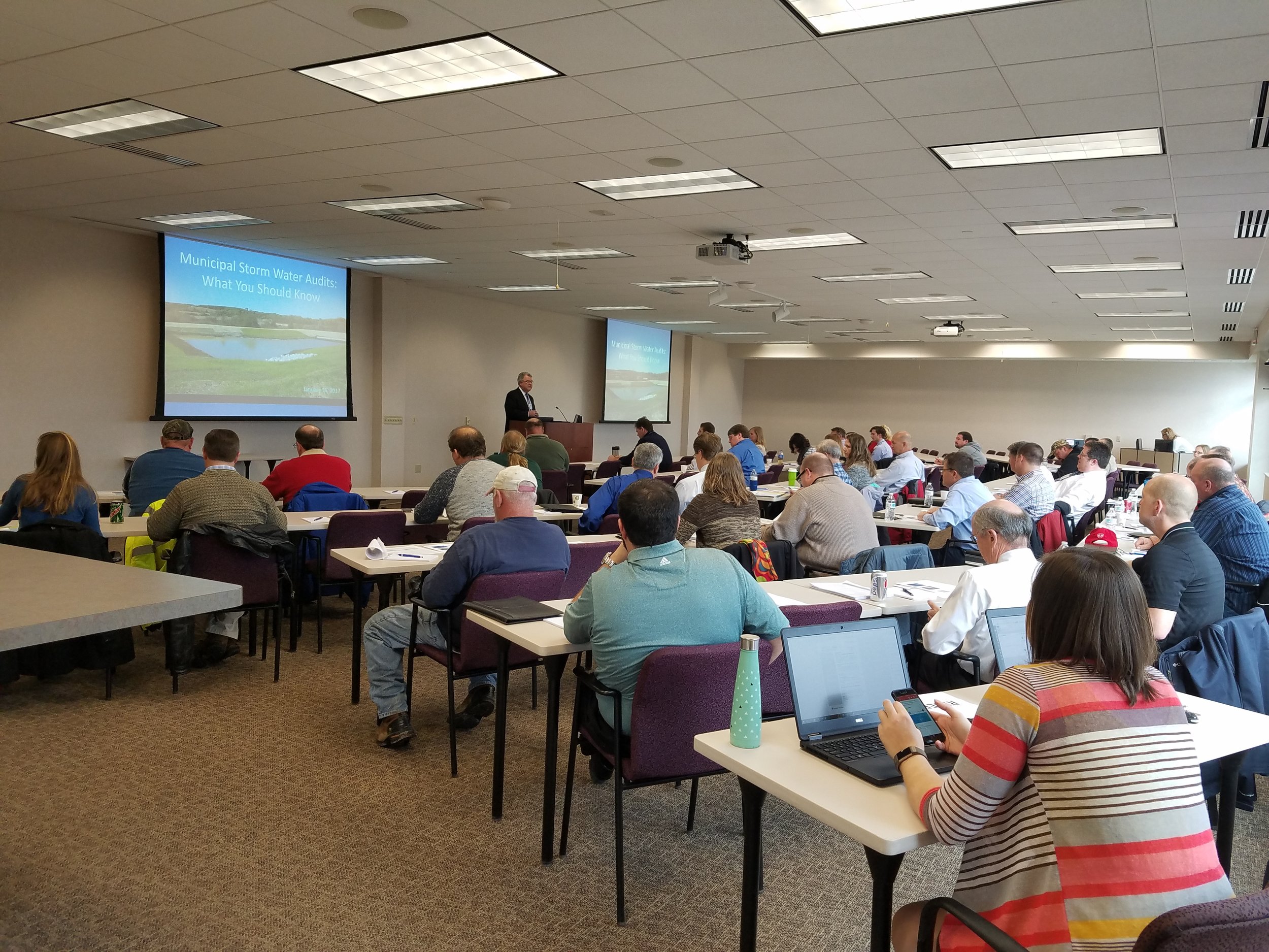
Yesterday, our Waukesha office held a seminar concerning Wisconsin DNR audits for MS4 permit holders. While a bunch of great information was discussed, our very own Bronson Jastrow, GIS whiz and famed #TipTuesday writer, presented on how GIS can help keep communities prepared- especially if they're facing a dreaded audit!
One of the best ways GIS can help is by keeping communities organized. Our GIS capabilities allow you to link documents (such as design and compliance records) straight into a map, making them easy to access and all compiled in the same place.
Beyond the simplicity of linking, viewing, and organizing documents, we have a suite of tools that can make preparing for a DNR audit a breeze, such as: Erosion Control & Inspection, Illicit Discharge, Pond Inspection, and Storm Structure Maintenance & Cleaning - keeping a history of compliance on each storm water asset.
If you want more information on WDNR MS4 audits and how GIS can help, check in with your favorite GIS tech, or hop over to our website where we have the presentation slides uploaded!
Zoning Tool
While the most accurate way to track Zoning is via direct editing in ArcMap software, the “Zoning Add/Edit” tool can be used for quick zoning changes that follow parcel lines. Found under the "Public Works" tab, the tool allows users to select parcels and add/edit the zoning information displayed in the map.


