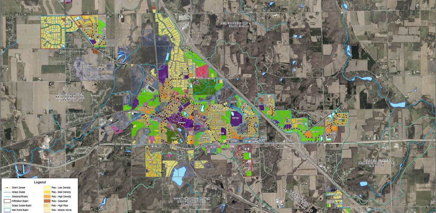
The Wisconsin DNR Urban Nonpoint Source & Storm Water Management (UNPS&SW) Planning Grant Program applications are now available on the WDNR website and are due April 17, 2023.
There’s not a lot of information out there about how to prepare your GIS storm water data to help these projects run as smoothly as possible, so that’s where we come in!
If you’re considering applying for a UNPS&SW Planning Grant, we highly recommend taking a good look into the state of your existing storm sewer data. What information do you have? Where are you lacking? Taking a detailed inventory before beginning these projects will help keep things moving quickly and make sure that the results provided in your final storm water plan are as accurate/up-to-date as possible.
The following list highlights important data to update within your GIS before your grant project begins:
Storm water facilities/devices (i.e. ponds, permeable pavement, proprietary devices, underground storage)
Storm sewer system geometry with flow arrows facing in correct direction (attribute data such as pipe size is always a plus)
Grass swales
Outfall locations
Land use
Reachsheds and water quality basins
Other information/data that is helpful to have on hand whether or not you have the above information:
Documentation pertaining to any storm water facilities/devices (i.e. main agreements, asbuilts, etc.)
Any documentation from prior storm water projects for your community
Maps/asbuilts of your storm system
Documentation of reachsheds/water quality basins within the limits of your community
If you do not currently have this type of data in your GIS, no worries! There’s still plenty of time to prepare. We simply suggest putting together a list of the items listed above that you either have/do not have, and then we can help you find the best and most efficient solution to getting the necessary data in order for your project. Contact us to find out how we can help you specifically!


