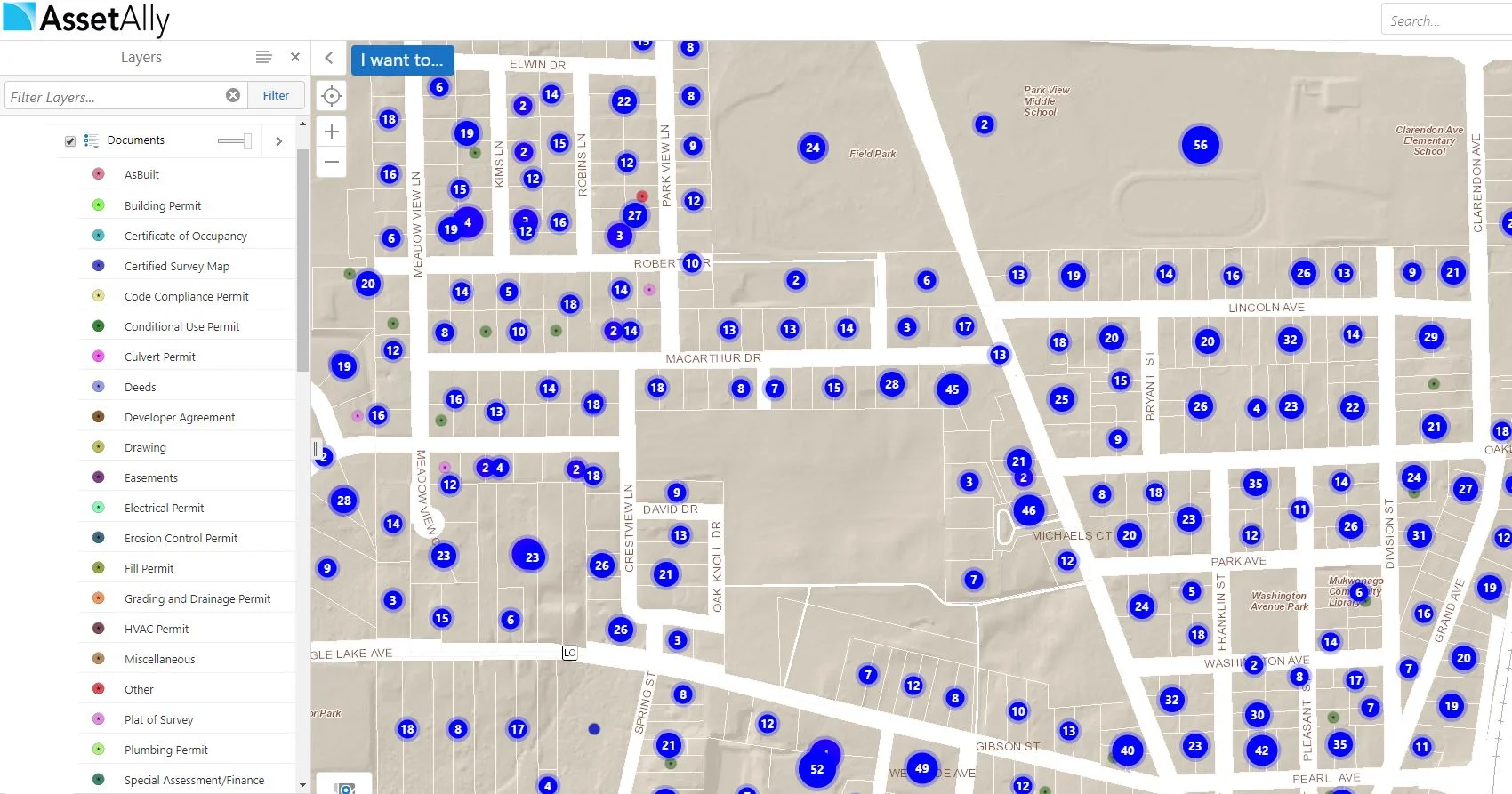
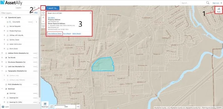
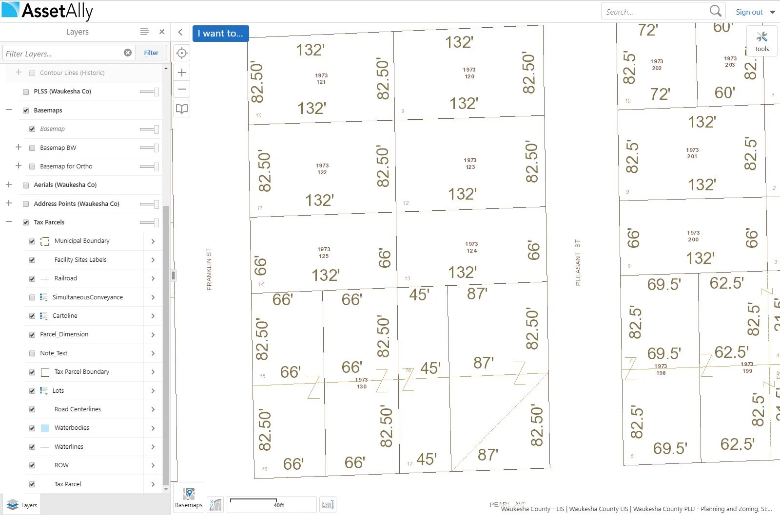
Watch this short tutorial to learn how to easily generate a resident mailing list in AssetAlly. This is especially useful for notifying property owners of upcoming road construction, tree pruning, sidewalk repairs, and more!
AssetAlly: Your Tool for Organization
Are you looking for ways to cut down the amount of time you have to spend on administrative tasks? AssetAlly can help you maintain and organize all of your documents in a safe and convenient location. This information can be easily shared across departments, so there’s no more fetching documents for anyone!
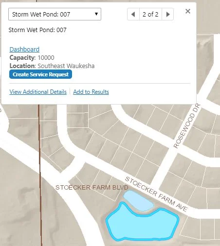
A New Approach to Storm Water Facility Inspections
Keeping Up with Forestry: The Tree Management Tool
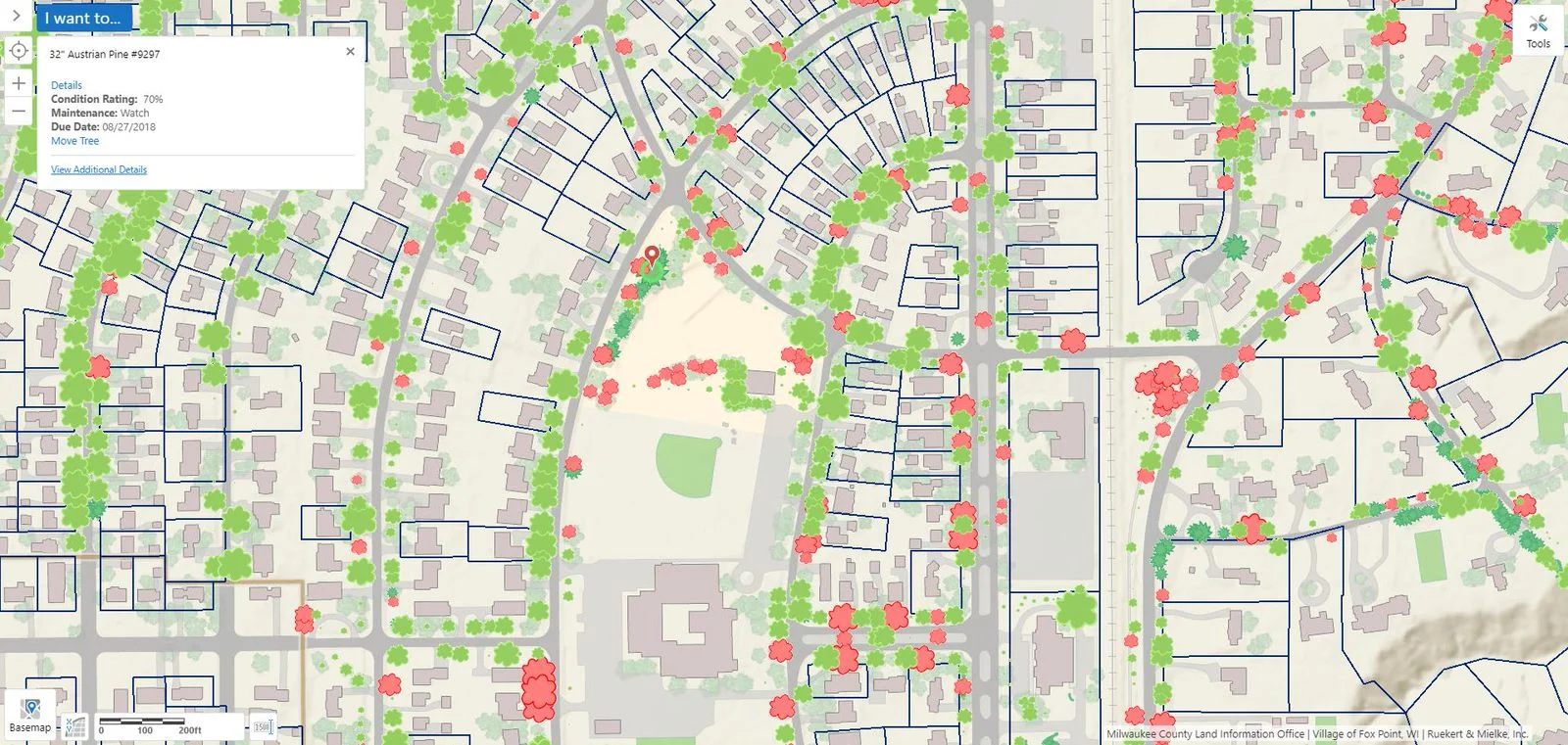
The management and maintenance of trees is essential in strengthening the quality of living in urban spaces. Optimal tree density and distribution is a vital aspect of many urban planning projects, as trees have an assortment of benefits on people and the environment. Learn how AssetAlly can assist you with managing your community's trees.
Cost-Effective Methods for Gathering GIS Data
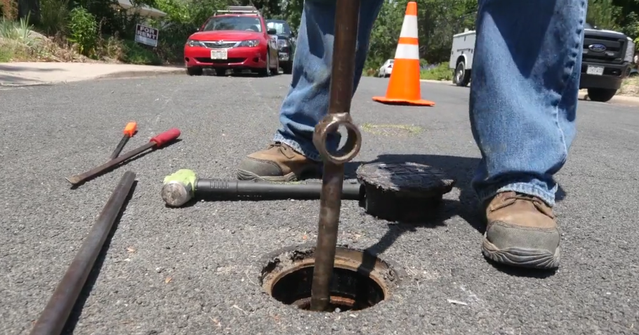
Access Your Valve Data Anywhere
How to Justify the Cost of a New GIS
Hydrant Data: Available When You Need It Most
2019 Can't-Miss GIS Events
Getting Started With AssetAlly
Top 5 AssetAlly Articles of 2018
The Importance of Visible Scales
GIS DAY 2018 Events Near You
4 Ways AssetAlly Helps Maintain Your Sanitary Sewer System
Layer Catalog - Search & Add Additional Layers into Your GIS
Did you know that AssetAlly allows you with the capability to search for and add various layers of your choosing into your application via the “Layer Catalog” feature? This could be data particular to the county you are in, or from more expansive resources such as NOAA or The Department of Agriculture.
Visualize Your Spatial Data Using the Upload Tool
The Upload Data feature is useful when you have spatial content you'd like to see in AssetAlly. Now, what kind of spatial content could this be? Maybe you have a shapefile from a CAD export or site developer you'd like to visualize. Maybe you have your own surveying equipment and want to take its X/Y coordinates to see if your utility locations are accurate. This data can all be imported and overlayed on top of all your existing GIS data!
How to Add Curb Stops and Water Laterals in AssetAlly
Have you ever wanted to quickly and easily add water laterals into your GIS? AssetAlly gives you the ability to do this on your own. Say, for instance, you had a list of all the lead laterals in your community you would like to enter into your application as a reference for future projects. Learn how in this quick tutorial!


