Solar eclipses are pretty neat. Even neater is being able to track past and future eclipses from any location in the world. You might be thinking, "Such technology cannot possibly be readily available for my consumption!" Luckily for you, there is a GIS map that lets you see over 600 years' worth of solar eclipses with just the click of a mouse!

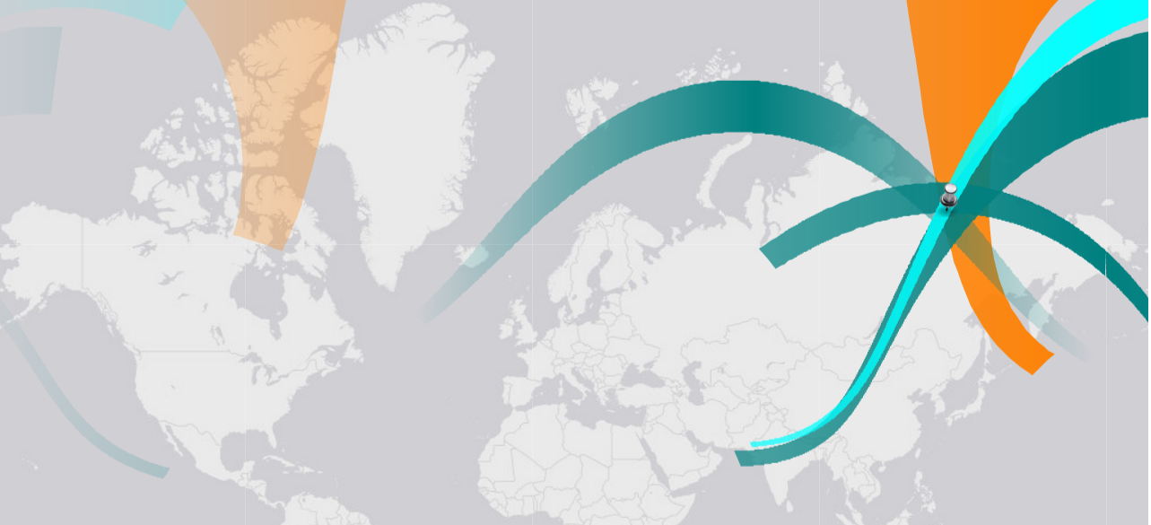
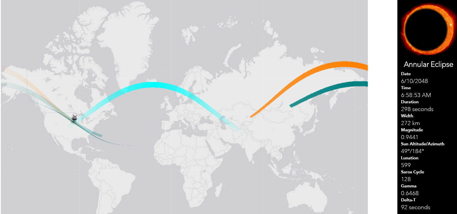
The Solar Eclipse Finder gives you access to past and future solar eclipse occurrences by clicking anywhere on the map. With simple color coding (teal for past, orange for future), you can see locations with high eclipse frequency and others with none at all.

Clicking on any of the colored bands will give you information on the type, date, time, duration, size, and even more information about the solar eclipse. Where the band touches indicates where that solar eclipse will be able to be seen.

If you're curious to know if your hometown might have a solar eclipse in its future, simply click on the map! Thanks to GIS capabilities, this information is easy to access and visually intuitive.


