Are you wondering what a story map is? Esri Story Maps are a simple yet powerful way to inform, engage, and inspire people with any story you want to tell that involves maps, places, locations, or geography. They make it easy for you to employ the power of maps to tell your story.
These web applications allow for authors to combine appealing maps with narrative text, impactful images, and multimedia (including video). The applications are designed to be attractive and usable by anyone, which makes them great for education and outreach, either to the general public or to a specific audience.
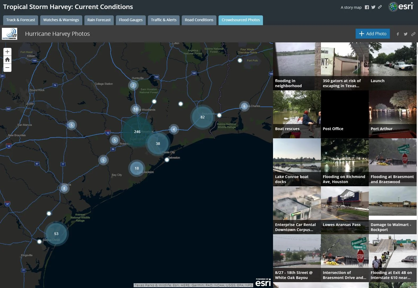
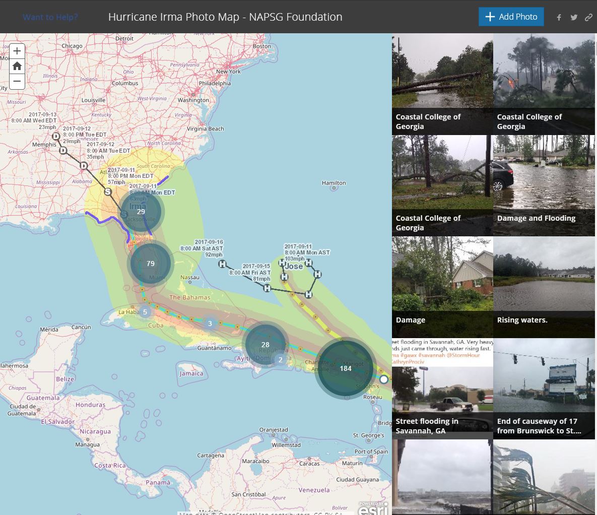
Click on the images below to link to story maps that have been created in response to the recent disasters of Hurricane Harvey and Irma.
Below is a particularly beneficial way in which story maps are utilized during these tragic situations. A Crowdsource Story Map allows the general public to submit photos which automatically appear on a map based off of their device location. This helps first responders and emergency managers identify needs and the best manner in which to approach a particular situation.
Harvey (click on image to link):
Irma (click on image to link):
The power of GIS is providing decision makers and the public with situational awareness, adding a level of efficiency and safety during these natural disasters.


