The Efficient Way to Manage Community Assets.
Is your community suffering from inefficient processes or disconnected technologies for managing your assets? Imagine if you could log inspections, flag repairs, visualize problem areas, and access historical data while in the field.
AssetAlly® is a GIS-driven solution that integrates all your community assets into a single, intuitive, digital tool that empowers your staff to be more productive with easy access to accurate infrastructure data.
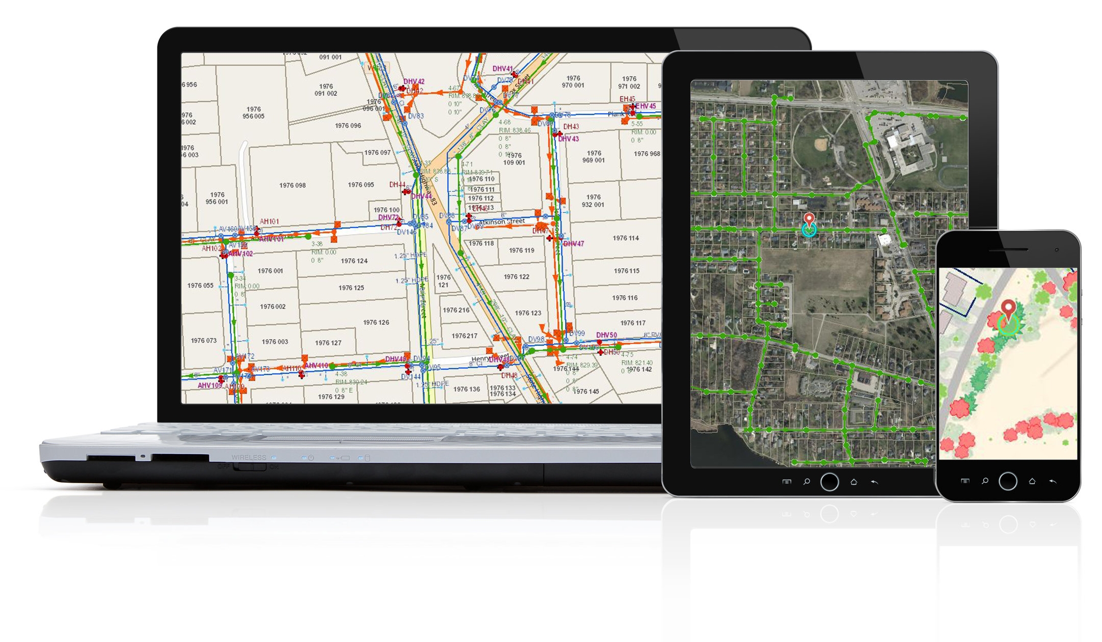
Integrate Your Assets. Connect Your Community.
Communities That Rely on AssetAlly®.
Explore AssetAlly® Tips & Tools. See GIS in Action.
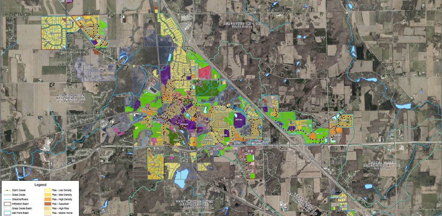
The Wisconsin DNR Urban Nonpoint Source & Storm Water Management (UNPS) Planning Grant Program applications are due April 17, 2023. Here are a few suggestions on how to prepare for these projects in your GIS!
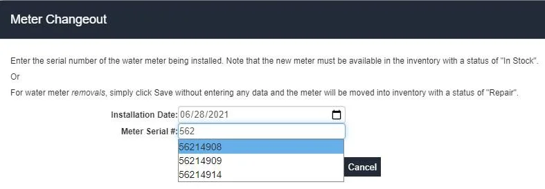
Lean about our recently deployed important water meter and document search tool enhancements to your AssetAlly site, including important bug fixes.
AssetAlly Version 11.1 will be released next week, and it is chock-full of exciting UX enhancements, bug fixes, and new ways for your municipality to manage your assets using the latest layers, tools, and dashboards. Learn what you need to know to take advantage of the latest and greatest version of AssetAlly.


