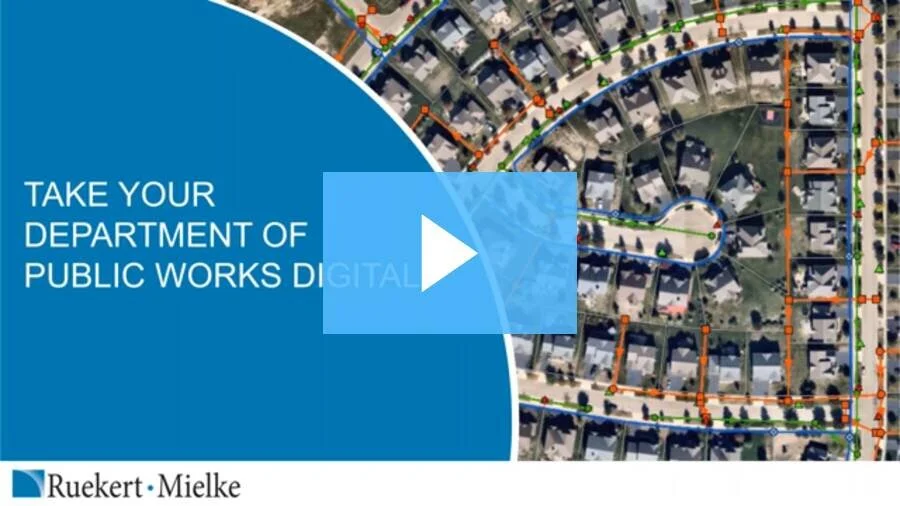
DPWs and Department Heads have enough to juggle with completing projects on time, managing staff and maintenance tasks, and serving residents. Searching for critical information about your infrastructure should not be something else you have to worry about. By leveraging the latest technology for GIS and data collection, you get instant access to the critical information you need and benefit from digital tools designed to make DPW tasks faster and easier. Watch this webinar to learn how your municipality can work smarter and reduce staff time.
Nearmap & AssetAlly: Improve City Planning with High Res Location Intelligence
Across the U.S., municipalities are turning to high-resolution aerial imagery to better plan and meet the needs of their growing community. Access to current, crystal clear imagery allows city departments to better organize public safety responses, improve public works planning, and streamline data for enhanced asset management. Watch this on demand webinar to discover new insights on how to employ stunningly clear and current imagery inside of AssetAlly®.


